You Don't Need to Be Technical to Get Maps That Work
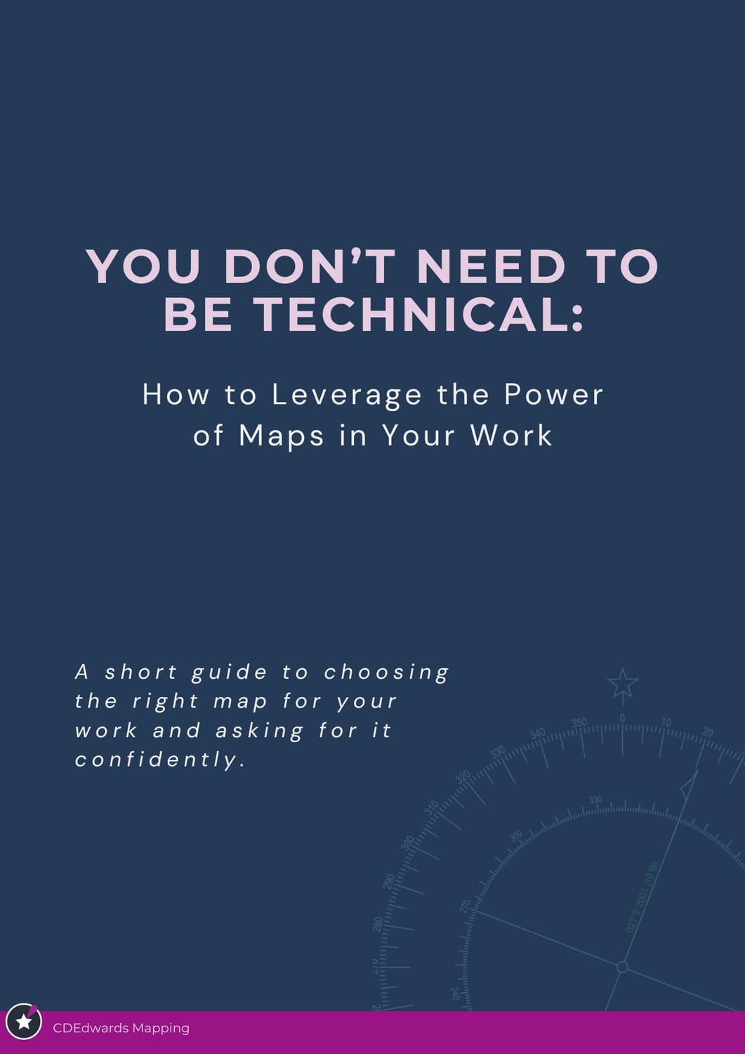
Discover the one question every useful map needs to answer
Choose the right map type for any project in minutes
Brief any GIS person or contractor with confidence. No technical jargon required
You know maps could help your team, but asking for the right one is often harder than it should be. Too often, a map looks polished but does not help people decide, align, or act; it burns meeting time, confuses field teams, and wastes budget on visuals that do not change decisions.
This short guide gives you a practical way to think about maps as tools with a job to do. Instead of getting lost in GIS terms, you will learn how to identify the purpose of a map, choose the right type for the situation, and brief it clearly in plain language. This is the same framework used with clients running simple and complex projects in marine spaces, that involve stakeholder meetings, long timeline, and complex field operations, adapted into a short, easy to use PDF.
Most leaders and planners suspect maps could help their work. They have seen glimpses of it: a map that finally made a risk feel real to a sceptical executive, a field brief that stopped the “I’m confused” phone calls from the field, or a shared picture that ended a three-meeting-long argument in twenty minutes. But when it comes to actually asking for that kind of map, most people don’t know where to start, and the technical language makes it feel like it's out of reach.
Here is what changes when you read this guide: you stop thinking about maps as a technical product and start thinking about them as a decision making tool with a specific job to do. Once you can name that job, you can ask for the right map, every time, without learning a single technical detail about geospatial. You skip months of trial and error briefs and go straight to a repeatable way of asking for maps that work.
🎯 Inside you'll find:
✔ The three map jobs that cover almost every real-world use case
✔ How to identify which map type fits your project, before you even ask for it
✔ The three questions that help you choose the right map every single time
✔ How to fill in a simple commissioning checklist you can hand straight to a GIS person or contractor
This guide is for you if:
You lead or manage a team doing complex, place-based work
You've received maps that looked fine but didn't actually help anyone understand anything
You suspect good spatial support could transform how your team communicates, but you've never quite known what to ask for
If you want help applying the framework to a live project after reading, you can shoot me a message or book a call and we can work through your project.
No. It was written for planners, managers, and decision makers who need better maps without becoming technical themselves. If you know your project and the decision you are trying to support, you have everything you need.
You will learn the three jobs most useful maps do, how to decide which one fits your situation, and how to brief a map clearly in plain language.
It is a short, 10 page PDF designed to be read in 10-15 minutes. By the end, you will be able to apply the framework directly to one real project you are working on now.
It is for people leading projects, coordinating teams, making cases to stakeholders, or managing field work where maps need to support real decisions, not just decorate reports.
You will have a clearer way to ask for maps that work and a simple framework you can use with your team or any GIS contractor. If you want to go further, there is an invitation to bring one project to a call and define a “map that works” together
Download now.
Learn exactly how to bring your product idea to market quickly and profitably yourself without wasting thousands on design fees or being left to guess the next step..
We HATE spam. Your email address is 100% secure