I Specialise in Marine Geospatial Analysis That Empowers Teams to Make Confident, Well-Informed Decisions
Are your critical marine planning decisions being made without all the relevant spatial information?
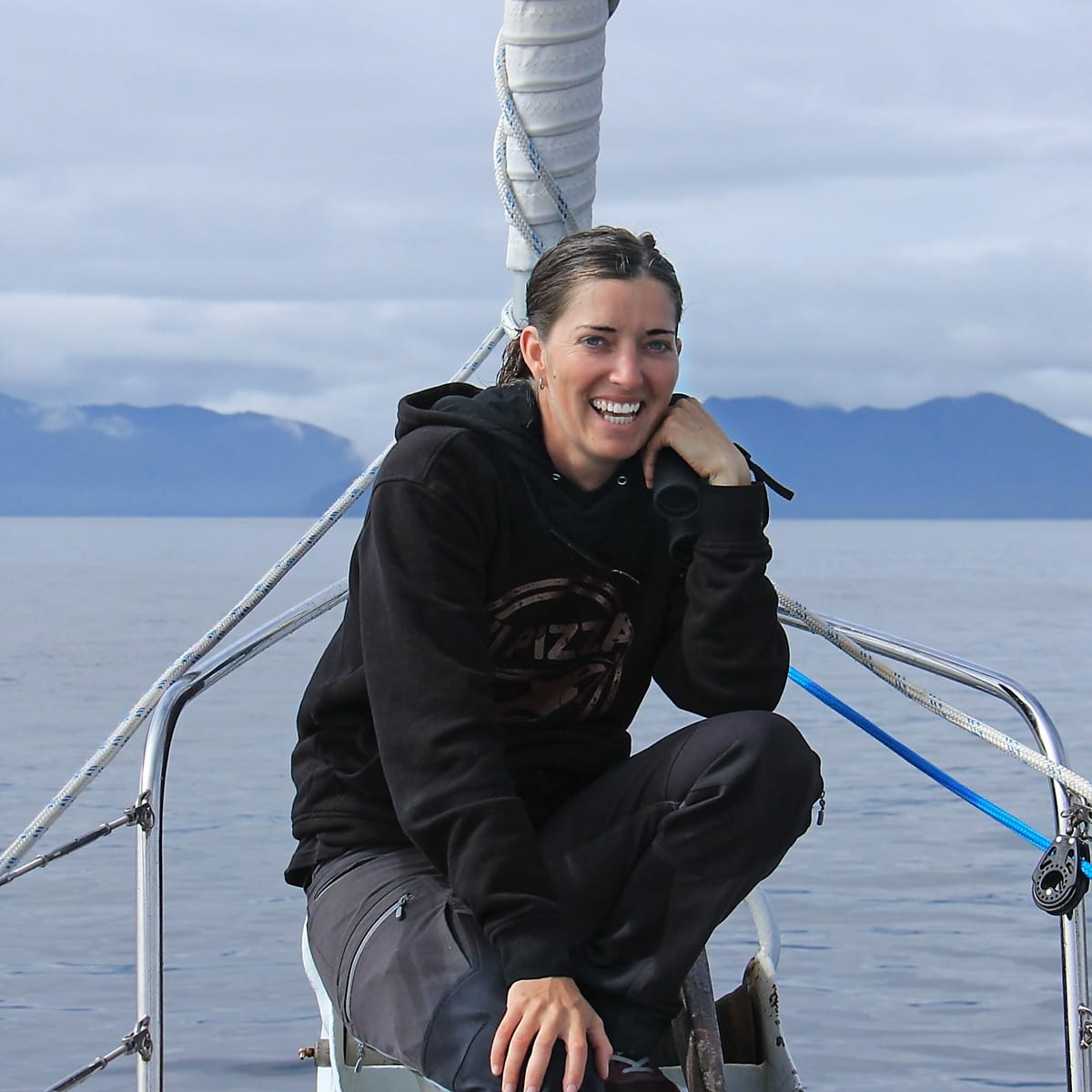
Courtney Edwards is a BC-based marine cartographer and geospatial specialist who helps marine resource managers, Indigenous stewardship teams, and coastal planners communicate complex place-based processes clearly through synthesis and spatial analysis that cuts through the noise.
If you're interested in making confident decisions backed by clear, unbiased spatial information that your team and stakeholders actually understand, then book a 15-minute call using the box below.
10 Years in Business, Thousands of Projects Delivered
Courtney Edwards has 10 years in business as a marine geospatial consultant. She has worked across marine protected area planning and management, fisheries management, indigenous governance and stewardship, environmental consulting, and oil spill response planning, giving her a fully rounded understanding for what it takes to transform complex, overlapping marine data into clarity that empowers decision-makers.
Courtney's clients include independent environmental consulting companies and Indigenous Governments across British Columbia, and she has helped them look well-informed, communicate their ideas clearly, and make decisions backed by the spatial information that matters.
Let's chat.
You'll tell me what's going on, I'll ask some questions, and we'll figure out if there's a mutual fit. No cost, commitment, or sales pitch.